Discover a comprehensive list of websites providing free and commercial satellite images and geospatial data.
Individuals use free satellite data for various purposes. Amateur astronomers track celestial events, hikers navigate trails, and environmental enthusiasts monitor land use changes. Teachers and students study geography and climate change, while homebuyers and real estate agents view properties and neighborhoods.
ESA astronaut Paolo Nespoli captured a series of nighttime photos on November 5 around 22:33 GMT from the International Space Station. The photos were compiled into a time-lapse with a 1-second interval, showing the Space Station’s journey from the southern Atlantic Ocean to Kazakhstan.
During the time-lapse, Paolo captured a fast fireball descending towards Earth over the Atlantic Ocean, near the west coast of South Africa. Watch closely between 00:07 and 00:08 seconds in the video to see the fireball in the upper right corner.
Free satellite data enhances daily life and expands knowledge, with growing accessibility and utility opening new avenues for innovation and discovery.
We have prepared a list of websites that provide satellite images and geospatial data for both interested individuals and professional researchers.
Expedition 49 crew members capture a nighttime view of the Strait of Gibraltar with a Russian Soyuz spacecraft (left) and Progress spacecraft (right) in the foreground. Source: Wikipedia / NASA
Access to Sentinel satellite data for environmental monitoring.
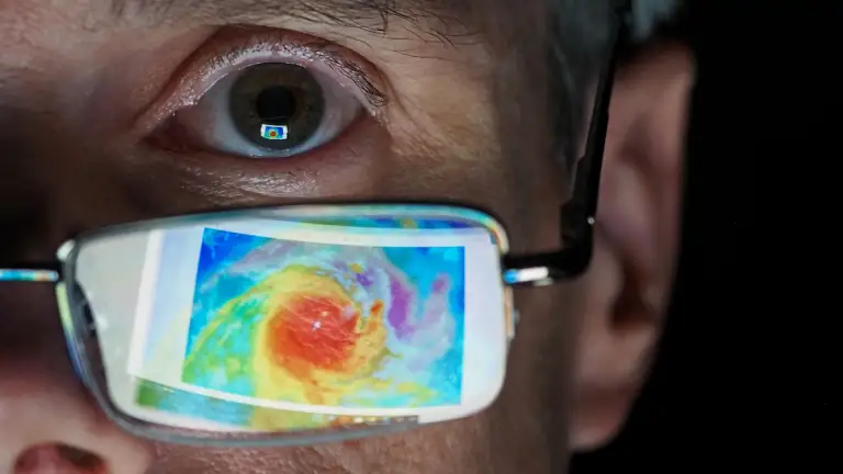
Launched on an Ariane 5 rocket on 13 December 2022, the Meteosat Third Generation Imager-1 (MTG-I1) is the first of a new generation of satellites set to revolutionise weather forecasting in Europe. ESA and Eumetsat are proud to jointly release the new image from the next generation. Source: esa.int
WorldView Legion satellites will capture high-resolution imagery of Earth's most active areas, covering 700,000 square kilometers daily with a positional accuracy within 5 meters.
Our list of commercial satellite imagery and geospatial companies includes leading providers such as Axelspace, Geo-Airbus Defense, Maxar, and Planet Labs. These companies offer high-resolution satellite images and advanced geospatial solutions for applications like disaster response, urban planning, agricultural monitoring, and defense. By leveraging the latest satellite technology, they provide critical data and insights for informed decision-making across industries.